
Wetland Development Programme
Following the success of our pilot site, the Delany Wetland, AIC is now delivering an extensive wetland development programme in partnership with farmers, project partners, and our Technical Working Group. Together, we’re restoring historical wet areas, retiring unproductive land, and creating effective systems that intercept nutrient loss and boost biodiversity. Guided by robust risk mapping and supported by the cooperation of willing landowners, this work is transforming underutilised parts of the landscape into environmental assets. We’re setting a benchmark for what’s possible across the region, showing that locally driven, proactive action really can make a difference.
Why Wetlands?
AIC has a two-part strategy to improve water quality across the Amuri Basin.
Part One happens on-farm, with a focus on irrigation efficiency, smart nutrient use, critical source area (CSA) protection, riparian planting, and high standards for intensive winter grazing.
Part Two looks beyond the farm gate, with strategically located wetlands intercepting nutrients that make it past these on-farm mitigations.
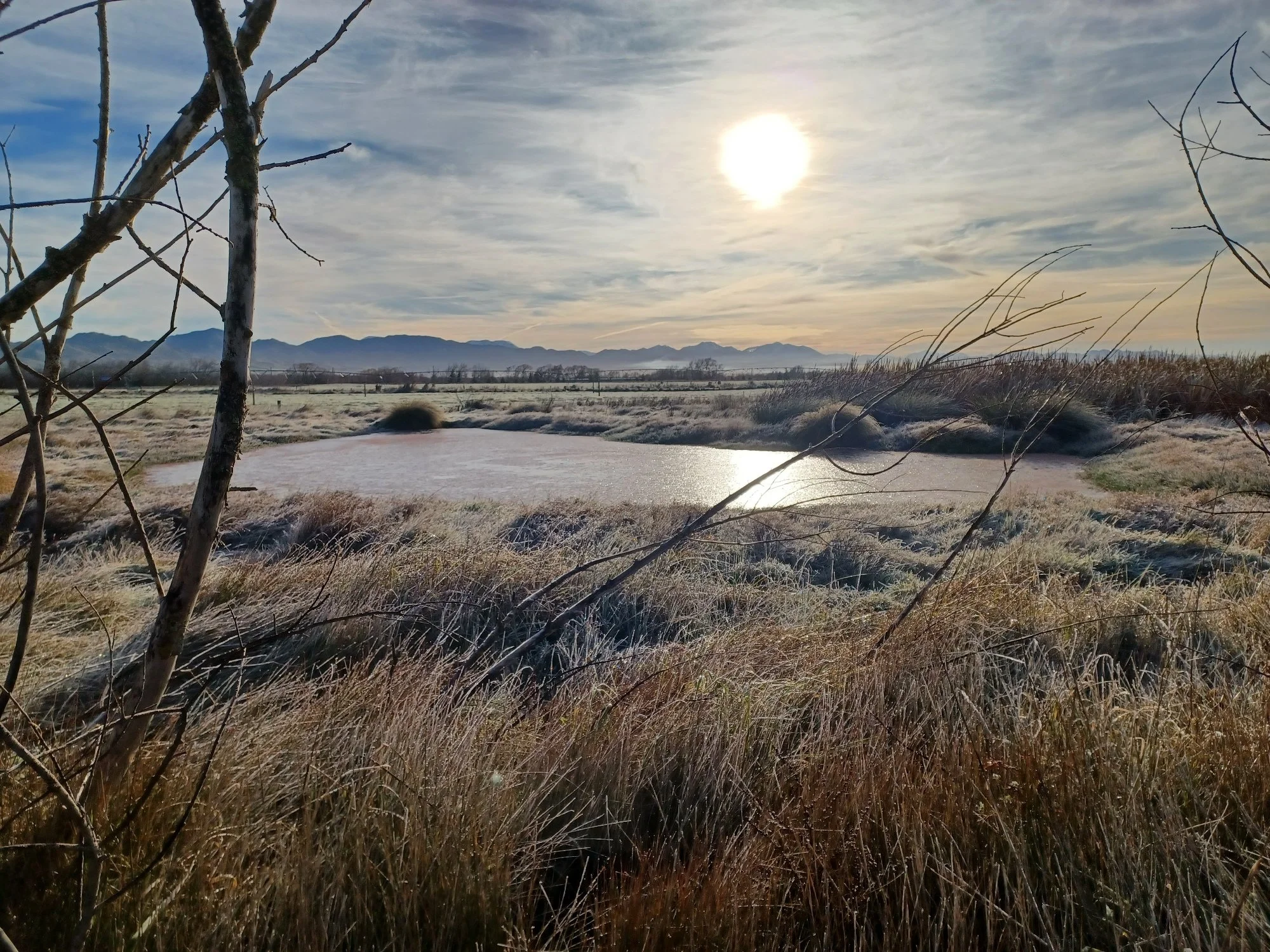
Historically, wetlands and swampy areas covered around 5% of the Amuri Basin. By restoring these natural buffers in key locations, we’re helping to slow and filter runoff, trap sediment, and support natural processes that improve water quality.
This work began with our pilot site, the Delany Wetland. Years of discussion, design and research led to a shift in approach. Farmers told us they needed nutrient management solutions that were low-maintenance, easy to understand, and practical to replicate. Instead of building high-input, high-management systems, we’ve taken inspiration from nature. Our wetland designs are simple, robust, and scalable, designed to work with the land, not against it.
It’s a pioneering approach, moving away from conventional models in favour of nature-based solutions that restore what was once here, or what could have been, through ground treatment, wetlands, and spring reemergence areas.
Grounded in Science
Data and transparency drive everything we do. In 2024, we developed a risk-based mapping system using AIC’s extensive aerial photography of the Basin, identifying areas with deep peaty soils, historic wetlands, and groundwater resurgence zones. These features have been cross-referenced to pinpoint the highest priority sites for restoration or protection.
Our network of 119 sampling sites across the scheme, combined with real-time water use data, weather stations, and soil moisture sensors, gives us the insight needed to target our efforts where they’ll have the greatest impact.
Identifying the Right Sites
Our Technical Working Group, led by environmental engineer Dr Peter Brown, assesses each potential site, classifying them into three tiers of opportunity, from high-priority development to potential land retirement and zones requiring further investigation. A prioritisation matrix then helps guide where we focus next, based on a range of site-specific and strategic factors.
Of course, none of this would be possible without the willingness and commitment of landowners who partner with us, whether to restore or construct wetlands, or simply fence off wet areas. We’re fortunate to be working alongside many dedicated and environmentally responsible shareholders, and we look forward to collaborating with many more as this journey continues.
What is Underway?
Our first constructed wetland, the Delany Wetland, proved what’s possible. Occupying just 1% of the farm’s area, water testing indicates that more than 85% of the nitrate entering the wetland is being removed. Over a year, this equates to over 2.5 tonnes of nitrogen removed, without any impact on production or profitability.
Building on this success, we now have 25 wetland sites in various stages of development across the Basin. Collectively, these small to medium-sized wetlands have the potential to deliver a major cumulative impact on water quality. Five sites are already operational, achieving nitrate reductions ranging from 65% to 99.6%. An additional 41 sites, covering around 170 hectares, have been earmarked for future development or permanent fencing.
“It is extremely rewarding to work with landowners who are keen to get wetlands off the ground. These sites aren’t just reducing nutrient loss - they are bringing life back to the landscape and showing what’s possible when we work together.”
-Rachel Vaughan, AIC’s Environmental Manager
Wetland Sites in Action

Craigmore - Landsend Wetland
Constructed Wetland | 1.5ha | Pahau Drain Catchment
AIC has partnered with Craigmore Farming to deliver our second constructed wetland - this time on Landsend Farm, located on Pahau Reserve Road. Inspired by the success of the Delany wetland, Craigmore approached us to explore a similar opportunity and contributed financially to help bring the project to life.
Historic maps showed the area had once been a natural wet spot, and with a patch of land that couldn’t be used productively, it was an ideal site. The wetland is approximately 2ha in size and designed as a three-pond system to reduce nitrate concentrations in incoming water, which exceeds 11 mg/m³ - above the drinking water standard.
5,000 native plants have been added to the site, with more to come next year.

Kaiwara Wetland
Constructed Wetland | 5ha | St Leonards Catchment
AIC is proud to be working with George and Penny Johns on what Dr Peter Brown has described as “a beautiful site for a wetland and riparian enhancement.”
Located on deep peaty soils in a historical wetland area, the proposed 4.5-hectare site sits at the base of the St Leonards catchment, where high-nitrate water from surrounding farmland naturally converges. Data shows it is one of the most effective locations in the Basin to remove nitrate from the St Leonards Drain before it enters the Pahau River and continues downstream, ultimately joining the Hurunui River.
This project has taken shape thanks to George and Penny’s commitment to exploring what’s possible. With additional support from Fonterra’s Doing Good Fund, the site will be developed over the coming years using a ‘less is more’ design approach focused on nitrate reduction, native planting for biodiversity, and restoring natural wetland function.
Now and Into the Future
This programme was made possible through funding from the Ministry for Primary Industries’ Food and Fibre Futures Fund, which has supported the project’s launch and will continue backing it through to June 2026. Beyond that, the intention is for farm-based contributions, tied to each property’s environmental footprint, to fund this long-term investment in wetland restoration and protection.
We’ll continue to update this page as the project progresses, sharing new sites, results, and stories from across the Basin.
Supporting Organisations

Who can I contact about the Project?
-
Rachel Vaughan
ENVIRONMENTAL MANAGER
027 455 0346